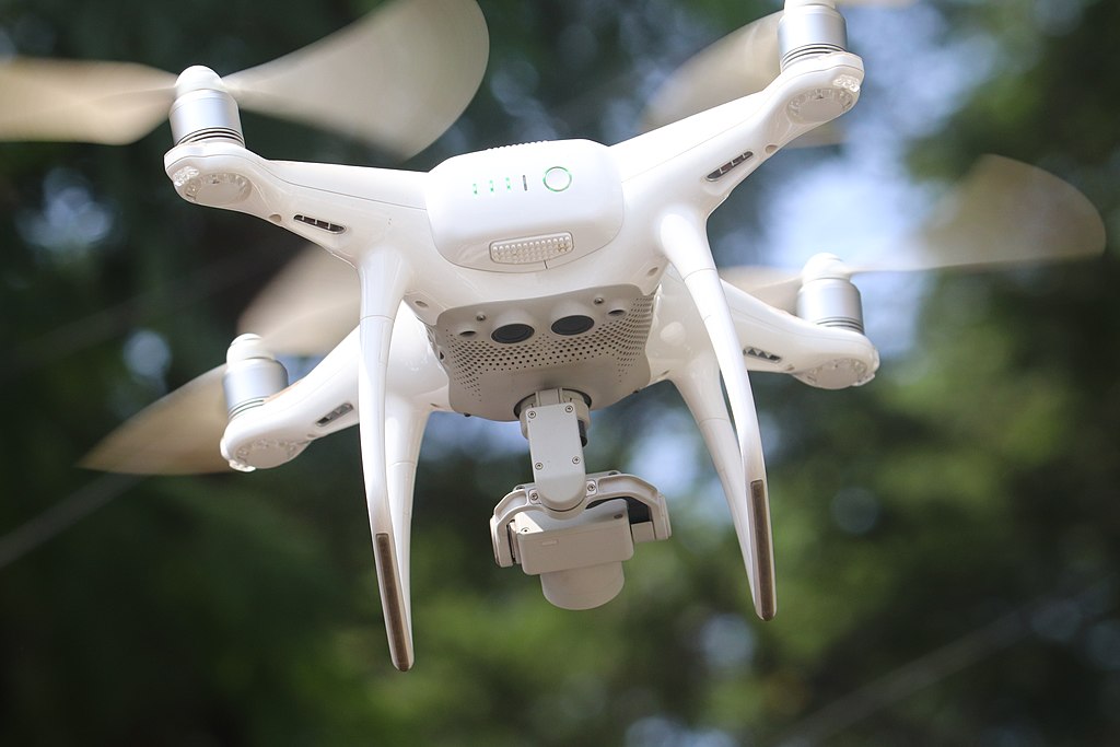
The FTJF Board has just approved funding from member contributions of a pilot mapping project that will use a drone to create 2-D photographic maps and video footage of a sample portion of the Jones Falls floodway. The maps and clips will be turned into a baseline set of data about the extent and effectiveness of clean-up, invasive-removal and restoration projects. This data set can then be used to measure and compare with future mapping projects.
Incidentally, you’re right that it’s critical this drone camera work be launched and completed before trees begin to leaf out again.
Katie O’Meara, professor of architectural design at MICA, will use the funding to hire a qualified intern to assist her with the work.
An update about this innovative project will be featured in our Summer or Fall newsletter issue.
